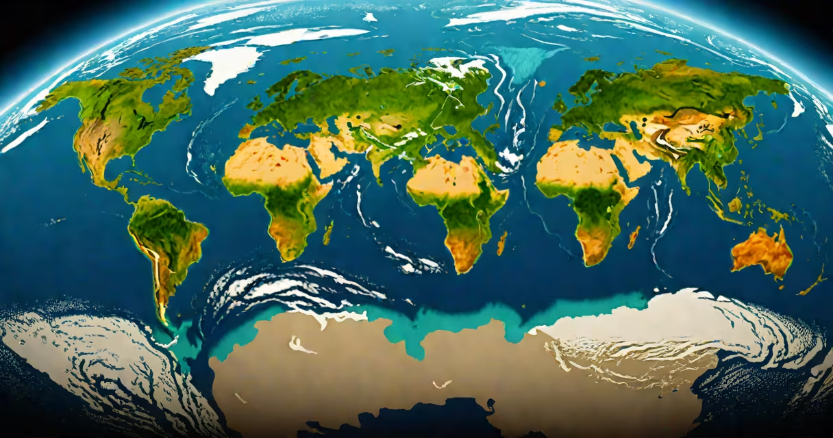
From outer space, Earth appears as a spherical, blue-and-white marble with swirling cloud patterns, distinct landmasses, and polar ice caps. The planet's surface reflects sunlight differently across oceans, forests, deserts, and urban areas, creating a changing visual mosaic visible from orbit.
Humanity first saw Earth from space during the Mercury-Atlas 6 mission in 1962, when John Glenn described the planet as "beautiful" and noted the "blue water" stretching beneath him. Since then, thousands of images have been captured by satellites, the International Space Station (ISS), and deep-space probes. These views reveal Earth not as a static globe but as a living system shaped by weather, seasons, and human activity.
The most iconic image-"Earthrise"-was taken by Apollo 8 in 1968. Astronaut William Anders snapped the photo as the spacecraft orbited the Moon, showing Earth rising above the lunar horizon. That image helped spark the modern environmental movement by emphasizing Earth's fragility and isolation in space.
Earth's appearance from space depends on altitude, lighting, and camera settings. At low Earth orbit (about 400 km), the curvature is visible, and the atmosphere appears as a thin blue band. At higher altitudes-such as geostationary orbit (35,786 km)-the entire hemisphere can be seen at once, but details like cities or storms blur.
Satellites use multispectral imaging to capture data beyond visible light. For example, NASA's Terra satellite uses sensors that detect infrared radiation, revealing temperature differences between land and ocean surfaces. This allows scientists to track wildfires, monitor crop health, and measure sea surface temperatures.
Astronauts aboard the ISS often photograph Earth using handheld cameras. The station orbits at 400 km, circling the planet every 90 minutes. This rapid motion means astronauts see sunrise and sunset every 45 minutes, creating dramatic lighting shifts across the surface.
Several consistent features appear in nearly all orbital images:
During daylight hours, the contrast between land and water is sharp. Forests appear dark green, deserts pale tan, and snow-covered mountains bright white. At night, city lights form glowing networks, while rural areas remain dark.
Many people assume Earth looks flat or featureless from space. In reality, the planet's curvature is visible from as low as 100 km. The illusion of flatness arises from short-range photography or distorted projections used in maps.
Another myth is that Earth appears entirely blue from space. While oceans dominate the view, landmasses contribute significant color variation. Africa shows up as a large brownish patch, while the Amazon rainforest appears dark green. The Sahara Desert is a vast golden expanse.
A lesser-known fact: Earth's brightness varies based on time of day and atmospheric conditions. During solar eclipses, the moon blocks sunlight, making Earth appear darker in photos taken from lunar orbit. Conversely, during equinoxes, sunlight hits the equator directly, increasing reflectivity.
In 1972, NASA's Apollo 17 mission captured the famous "Blue Marble" photo. Taken from about 29,000 km away, it shows Earth in near-full view, with the Atlantic Ocean centered and Africa in the foreground. The image was processed from multiple exposures to reduce glare and improve detail.
This single frame became a cultural symbol. It was used on posters, textbooks, and political campaigns. Scientists still reference it when discussing climate change, as it visually underscores how small and finite our planet is.
When compared to other planets, Earth stands out. Mars appears rusty red due to iron oxide dust. Venus glows white from thick sulfuric acid clouds. Jupiter shows bands of swirling gas and the Great Red Spot.
Earth's unique combination of liquid water, a stable atmosphere, and active plate tectonics makes it the only known planet with continuous surface changes visible from orbit. Clouds move, ice caps shrink, and vegetation cycles through seasons-all observable in time-lapse videos from satellites.
| Feature | Visible from Low Orbit (400 km) | Visible from Geostationary (35,786 km) |
|---|---|---|
| City lights at night | Yes, detailed | Blurred, faint glow |
| Individual trees or buildings | No, resolution too low | No |
| Weather fronts and storm systems | Yes, hourly updates | Yes, daily tracking |
| Glacial melt in Greenland | Visible over weeks | Trackable via thermal imaging |
For context, the highest-resolution commercial satellite-Maxar's WorldView-3-can distinguish objects as small as 31 cm. But even that resolution cannot resolve individual people or cars from orbit. The human eye, however, can perceive broad patterns like coastlines and major rivers.
On a personal note, I once watched a live feed from the ISS during a solar eclipse. As the moon passed over Earth's surface, the shadow moved across continents at 1,700 km/h. The transition from day to night happened in seconds-something no ground-based observer could witness.
Understanding what Earth looks like from space isn't just about aesthetics. It informs climate science, disaster response, and national security. Satellites monitor deforestation in the Amazon, track oil spills in the Gulf of Mexico, and detect volcanic eruptions in Indonesia.
When you look at a satellite image of Earth, you're seeing more than a picture. You're seeing a record of planetary processes, human impact, and natural beauty. The view from outer space reminds us that Earth is not just a home-it's a system, visible and measurable from afar.